Elevate Your Data with Aerial Imagery
Precision data collection for all your aerial needs.
Infrastructure Inspections
Expert drone services for critical infrastructure assessments.
Cinematic Aerial Footage
Stunning visuals captured with advanced drone technology.
Real Estate
Technical Flying
Elevating Imagery to New Heights
Experience unparalleled aerial solutions with our expert pilots, utilizing cutting-edge drones for diverse applications, from infrastructure assessments to breathtaking cinematic captures.
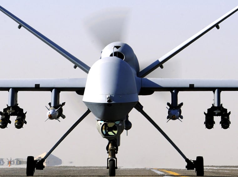

Trusted by Professionals
Elite Aerial Services
Harnessing aerial expertise to deliver precise imagery for diverse industries with cutting-edge drone technology.
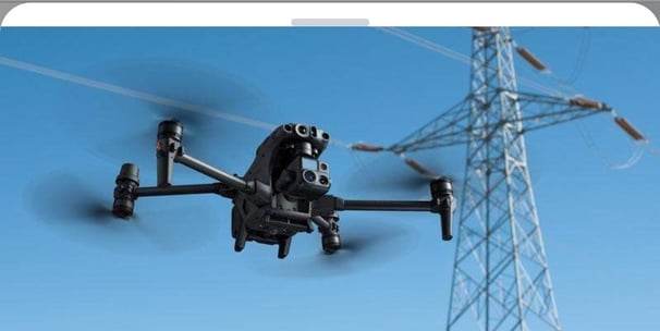


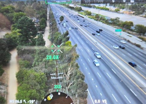
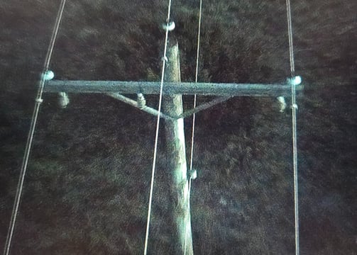
Aerial Infrastructure Inspections
Drones providing critical data on infrastructure integrity for enhanced safety and operational efficiency.
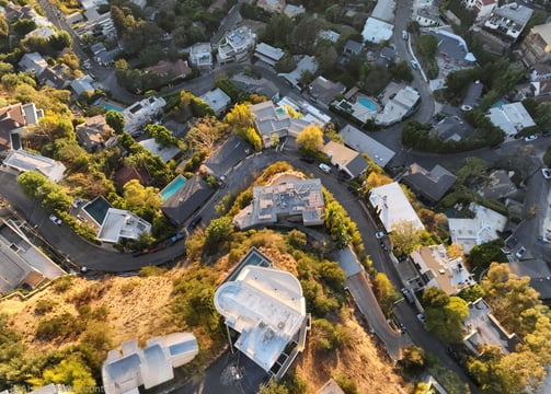
Real Estate Imaging
Elevate property listings with stunning aerial visuals, showcasing locations from captivating perspectives.
Mission Overview
Explore our aerial imagery solutions for various industry needs.
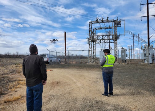

Aerial Assault
Precision imaging for critical infrastructure and real estate inspections.



Sky Recon
Technical flying for cinematic shots and acrobatic displays.
Skyvet Images transformed our project with stunning aerial footage. Their expertise and professionalism are unmatched. Highly recommend for any aerial imagery needs!
John Doe

★★★★★
